Drone Services
High-resolution drone imaging for optimized crop health and actionable insights.
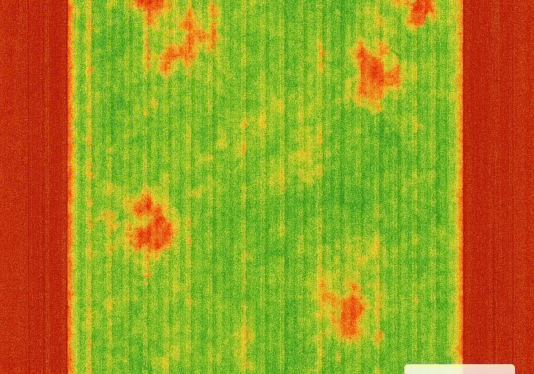
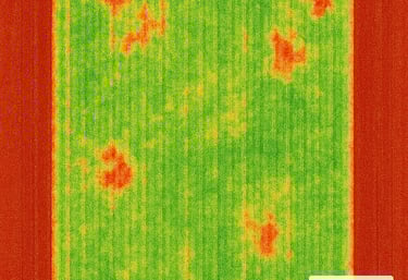
Crop Analysis
Our crop analysis services give growers a deeper, data‑driven understanding of plant health throughout the season. Using multispectral imaging and advanced vegetation indices, we identify stress, nutrient variability, moisture issues, and emerging problem areas long before they’re visible from the ground. Each analysis is processed through professional photogrammetry workflows to deliver clear, actionable insights that support smarter decisions, stronger yields, and more efficient field management.
Drone Imaging
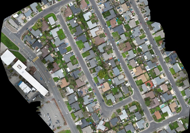
Agriscan Aerial provides high‑accuracy drone imagery that transforms fields and job sites into clear, actionable intelligence. Using advanced drones, multispectral imaging, and professional photogrammetry workflows, we deliver detailed orthomosaics, elevation models, and crop‑health insights that help clients plan, monitor, and make confident decisions. Whether supporting growers, construction teams, or land managers, our maps offer a reliable, data‑driven view of the terrain.
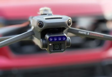
Experience the power of professional drone technology before you commit. Our demo flights showcase exactly how Agriscan Aerial captures high‑precision imagery, builds detailed maps, and delivers the insights that drive better decisions. You’ll see our workflow in action—from flight planning to real‑time imaging—so you can understand the speed, accuracy, and value we bring to your operation. It’s the fastest way to see what our services can do for your fields, projects, or property.
Demo Flights